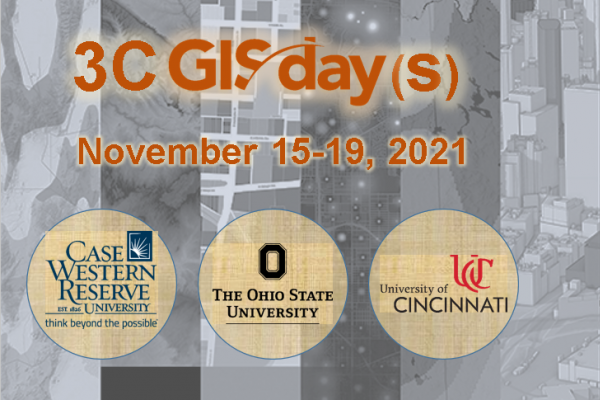
GIS Day is an annual event for students, staff, faculty, and the broader community to learn more about geographic information systems (GIS) and to celebrate the power of geospatial data, methods, and technologies for answering research questions and solving real-world problems.
Join us during the week of November 15-19 for a virtual program featuring a keynote presentation, lightning talk sessions, and a digital map gallery. This event is free and open to the public, and you can register now using this link: Register for 3C GIS Day(s) 2021.
3C GIS Day(s) 2021 is a collaboration between Case Western Reserve University, The Ohio State University, and the University of Cincinnati. If you have questions about this program, please contact geospatial@osu.edu.
This virtual program will include automated captioning. If you require an accommodation such as live captioning or interpretation to participate in this event, please email libevents@osu.edu as soon as possible. Requests made at least one week prior to the event will generally allow us to provide seamless access, but the university will make every effort to meet requests made after this date.
