News

The Case for Quelccaya
A new white paper by Byrd Center paleoclimatologist Lonnie Thompson outlines the case for creating a National Park in Peru's Quelccaya region, home to the world's largest tropical ice cap. The…
Prof. Melisa Diaz Awarded the 2026 F.W. Clarke Award
Professor and Byrd Polar and Climate Research Center Principal Investigator Melisa Diaz was recently honored with the F.W. Clarke Award for her pioneering research investigating the geochemical…

Emily Mazan Successfully Defends her Ph.D. Dissertation
Congratulations to Emily Mazan on the successful defense of her Ph.D. dissertation, "A Multiscale Examination of Changing Mountain Climates: Integrating Observations and Modeling in the Snake…

Grade-A gray matter: Lonnie Thompson
Distinguished University Professor Lonnie Thompson was recently featured in the Summer 2026 issue of Ohio State Alumni Magazine. The article, "Power of 10," highlights 10 Distinguished University…

Guardian of polar history retires after 30 years
This article written by Erin MacLellan was originally shared in the Ohio State Alumni Magazine with photos taken by Jodi Miller.
Laura Kissel ’83 shaped Ohio State’s Byrd Center archives,…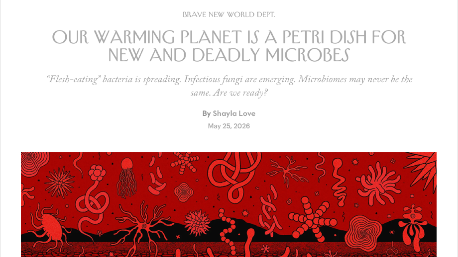
Byrd Center Featured in New Yorker: Our Warming Planet Is a Petri Dish for New and Deadly Microbes
The Byrd Polar and Climate Research Center was recently featured in a New Yorker article exploring how climate change is transforming microbial life across the planet. In “Our Warming Planet…

Arriana Casanova: Garry McKenzie & Henry Brecher Scholarship Recipient
Arriana Casanova, a 2026 graduate who earned her bachelor’s degree in Astronomy and Earth Sciences, was one of nine recipients of the 2025 Garry McKenzie and Henry Brecher Endowed Undergraduate…

Stanislav Kutuzov et al. Characterize Over Two Million Atmospheric Particles in Antarctic Ice to Reconstruct Past Dust Sources
Stanislav Kutuzov and his colleagues recently published “Geochemical characterization of millions of individual atmospheric particles entrapped in Antarctic ice across the last glacial…

Ellen Mosley-Thompson Named One of Columbus Monthly’s 2026 Inspiring Women
The Byrd Polar and Climate Research Center is proud to share that Ellen Mosley-Thompson, Distinguished University Professor Emerita and senior research scientist, has been named one of Columbus…