News
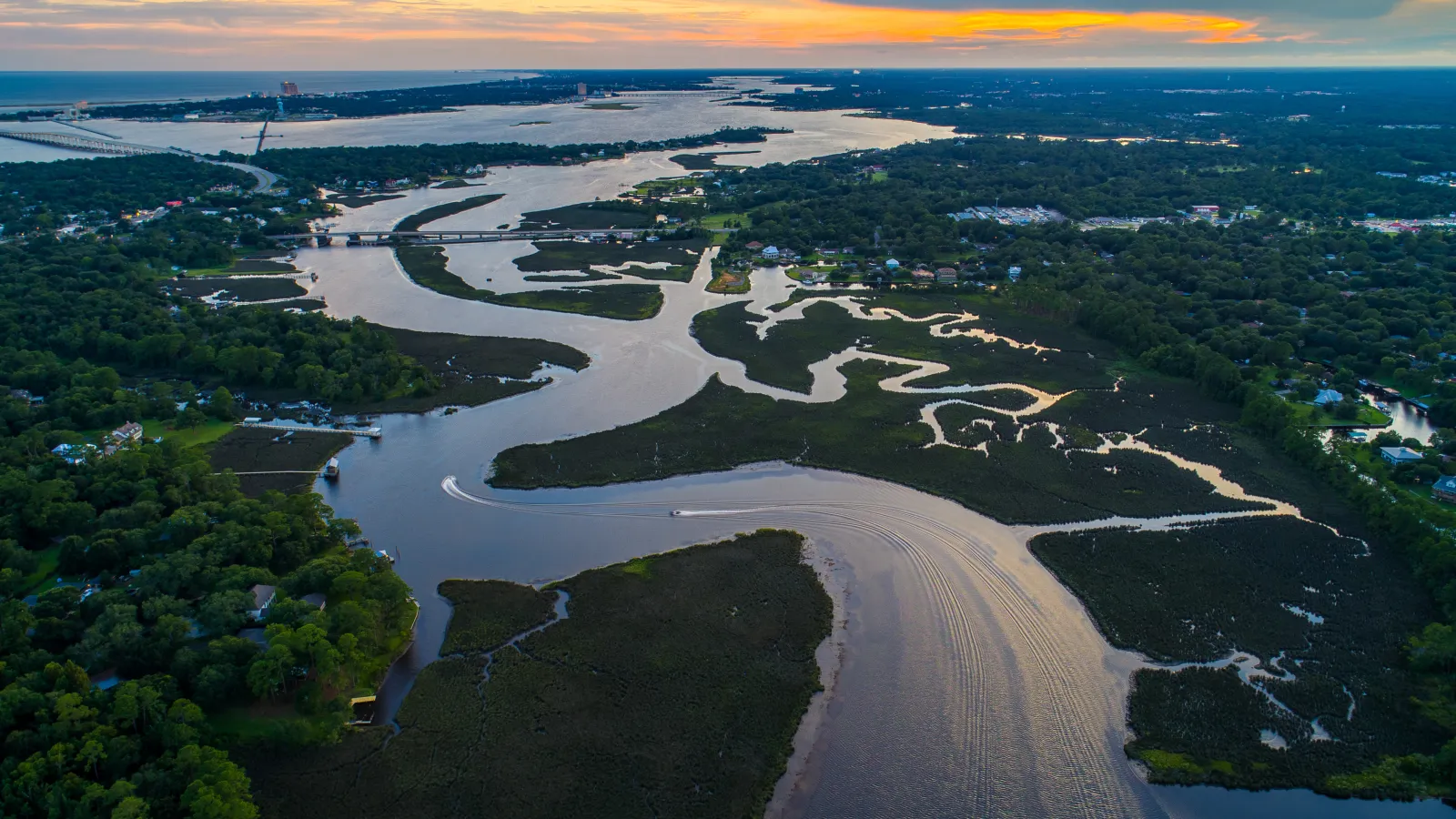
A study led by an international team of researchers published in Geophysical Research Letters reports the first global estimates of river discharge, the volume of water flowing past a…

The Byrd Center extends sincere thanks to Ian Howat for his leadership and guidance of the Byrd Center since 2018 and looks forward to continuing to support him in his role as a Byrd Principal…
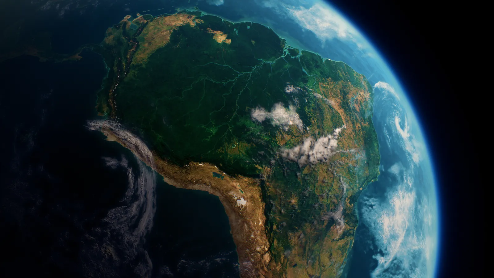
Last month, at the prestigious American Geophysical Union (AGU) Annual Meeting, Postdoctoral Scholar Steve Coss from the Byrd Center's Measuring the Water Cycle group unveiled groundbreaking…

In the world of hydrologic science, a new chapter is being written with the advent of the Surface Water and Ocean Topography (SWOT) mission. This groundbreaking initiative, born from the…
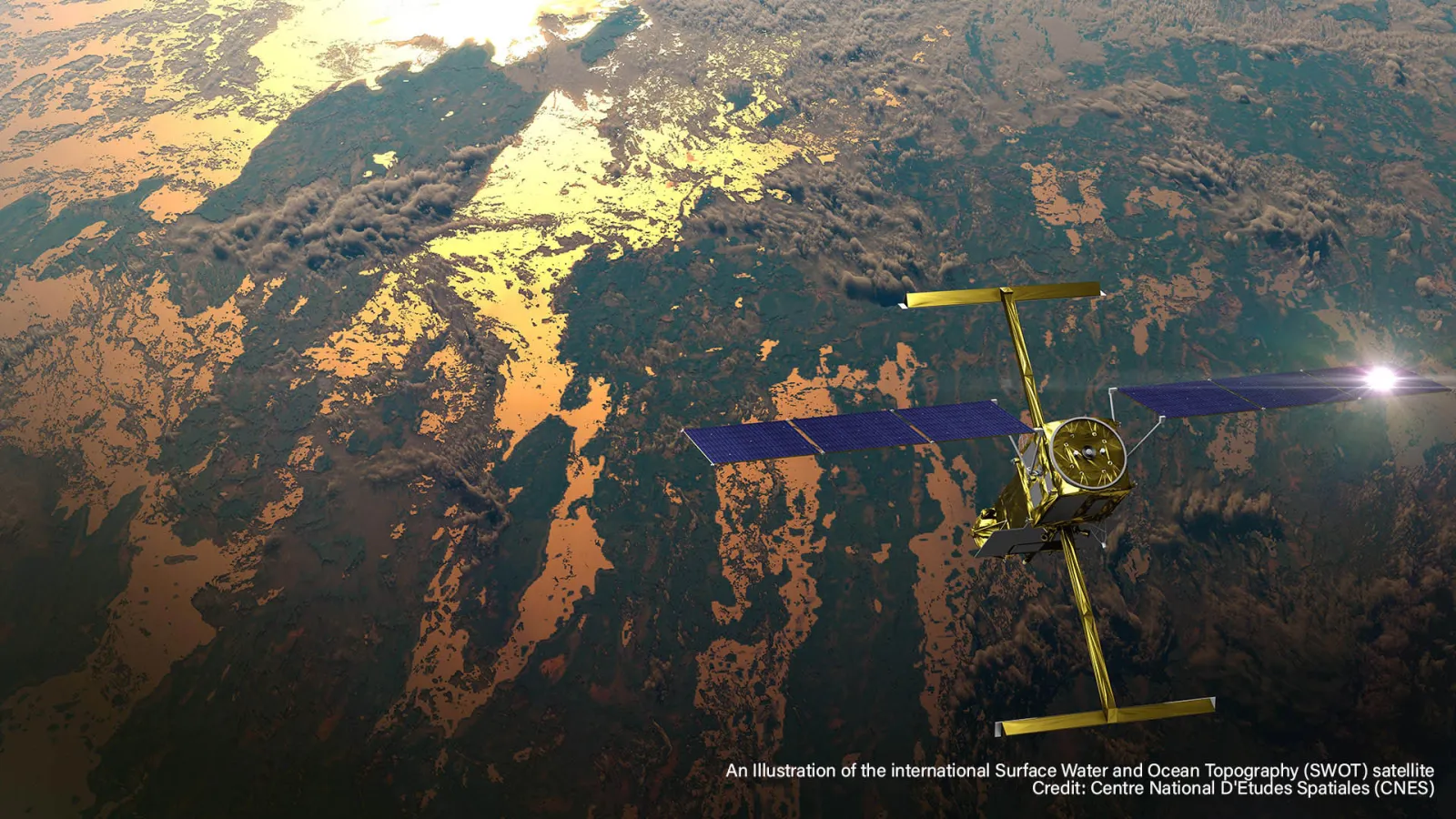
In a pioneering partnership with Google Arts & Culture, NASA has collaborated with artist Yiyun Kang to create an extraordinary digital experience titled "A Passage of Water." This interactive…

A team of researchers led by the University of Washington (UW) has discovered that the amount of snow on the ground at the end of December can effectively predict total seasonal snowfall in…
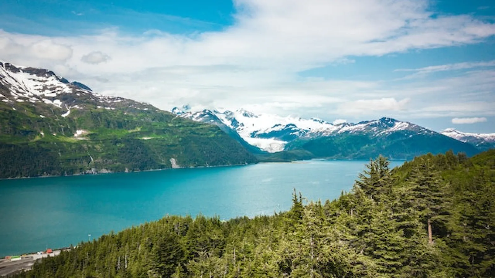
The Surface Water and Ocean Topography (SWOT) mission is set to revolutionize global hydrological research by improving measurements of river basins worldwide.
Using data from the SWOT…
On December 16, 2022, a SpaceX Falcon 9 rocket was launched into space from Vandenberg Space Force Base in California, carrying with it the Surface Water and Ocean Topography (SWOT) spacecraft…
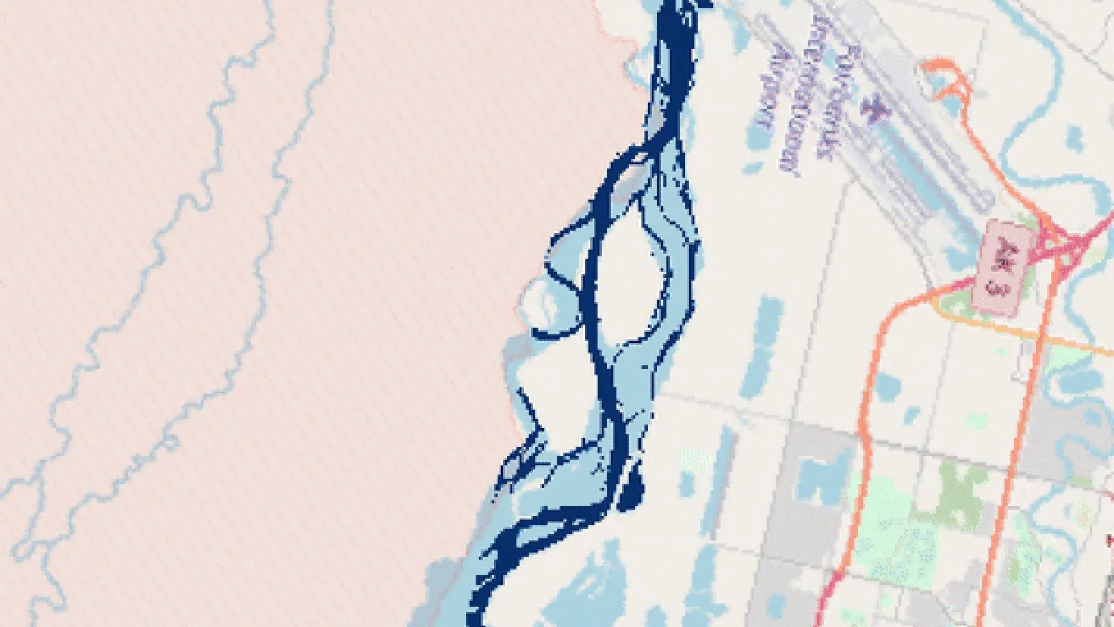
Earth’s surface water, such as river flow paths and inundated floodplains, evolves spatially over time. Where and how much surface water is present is critical for evaluating droughts, floods, and…