AirSWOT Data on the Willamette River
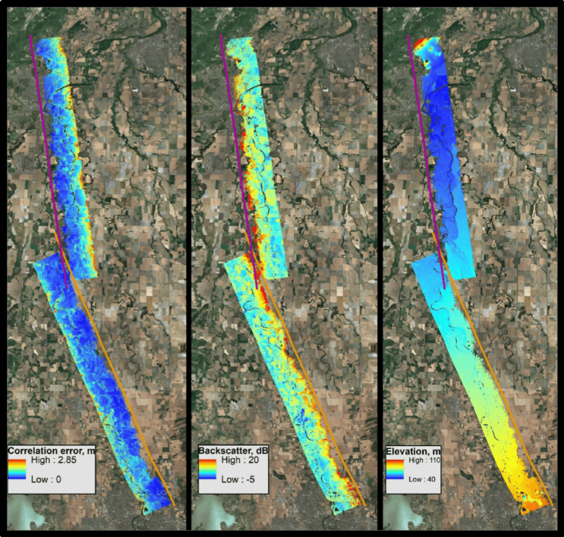
We used a dataset of Ka-band interferometric synthetic aperture radar (inSAR) measurements of water surface elevations over the Willamette River in Oregon, USA to test discharge algorithms which are under development for the Surface Water and Ocean Topography (SWOT) mission. This data was collected in March 2015 using AirSWOT (https://swot.jpl.nasa.gov/airswot.htm), an airborne instrument developed to support pre-SWOT activities and SWOT calibration/validation.
In-situ data can be accessed at the USGS ScienceBase catalog for the level logger data, Bathymetry and stream velocity data, and boat-based water surface elevation surveys:
- Water surface elevations recorded by submerged pressure transducers along the upper Willamette River, Oregon, Spring, 2015
- Boat-based river bathymetry and stream velocity on the upper Willamette River, Oregon, Spring 2015
- Boat-based water-surface elevation surveys along the upper Willamette River, Oregon, in March, 2015