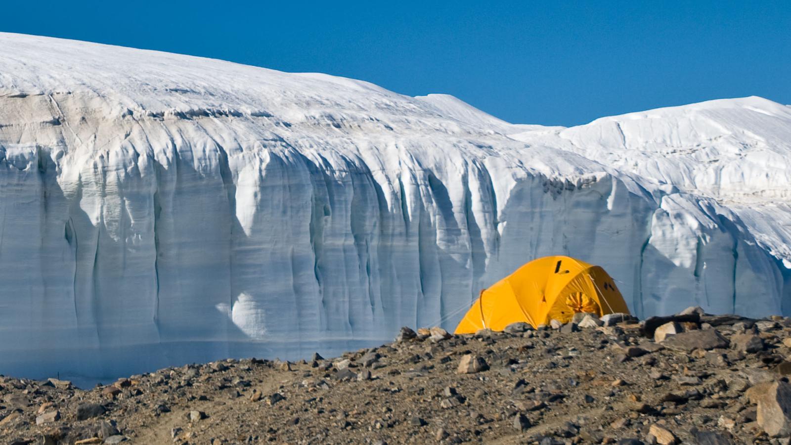
Remote Sensing of the Cryosphere
The Remote Sensing Group performs research in remote sensing of polar regions and enjoys an international reputation for its work in the Arctic and Antarctic. Spaceborne remote sensing instruments provide an opportunity to repeatedly observe all of Earth’s atmosphere, lands, oceans and ice. This technology has especially great utility for studying the Earth’s polar regions, one of the remaining frontiers of human exploration. The goals of the Remote Sensing Group are to document the properties of Earth’s ice cover, to understand the physical mechanisms by which ice cover changes and to assess the implications of changing ice cover on the rest of the world. The group's core strategy has four elements: describe the physics of remote sensing for icy terrain; develop algorithms that derive geophysical parameters from remote sensing data; participate in instrument development and mission design; and complete data interpretation and geophysical model creation.
Spaceborne remote sensing instruments provide our generation, indeed the first generation, an opportunity to observe repeatedly all of Earth’s atmosphere, lands, oceans and ice. This technology has especially great utility for studying the Earth’s polar regions, one of the remaining frontiers of human exploration.
The Remote Sensing Group is a world leader in remote sensing of polar regions and enjoys an international reputation for its work in the Arctic and Antarctic.
The goals of the Remote Sensing Group are to document the properties of Earth’s ice cover, to understand the physical mechanisms by which ice cover changes and to assess the implications of changing ice cover on the rest of the world.
Our core strategy has four elements:
- describe the physics of remote sensing for icy terrain;
- develop algorithms that derive geophysical parameters from remote sensing data;
- participate in instrument development and mission design;
- data interpretation and geophysical model development.
Our two primary scientific objectives include
- mapping the velocity field of Antarctica and
- establishing time series observations of the physical properties of icy terrain from pole-to-pole.
Our aim is to perform change detection studies that rely on over 3 decades of high-resolution remote sensing data.