We measure rivers and snow from satellites to understand how the water cycle works
Welcome to the Durand Research Group homepage! Here you’ll find info on who we are, the research we do and our group's news, as well as random things you never thought you’d need to know about hydrology and snow science.
Research
Our research group is exploring ways to characterize land surface hydrological processes, especially via satellite remote sensing measurements. Water is fundamental to life, but knowledge of water quantity stored on the landscape (as snow in mountainous regions, for example) or moving as a flux (as streamflow in rivers) is surprisingly poor, especially at a global scale.
Much of our research involves use of remote sensing measurements to better understand hydrologic states and fluxes. Remote sensing measurements have begun to allow hydrologists to make better inferences about hydrologic processes at larger spatial scales. The challenge is that the remotely sensed quantities are only indirectly related to the hydrologic quantities of interest. This has launched a new and exciting field of hydrologists working to interpret reflected, emitted and scattered light waves, in order to better understand hydrologic processes.
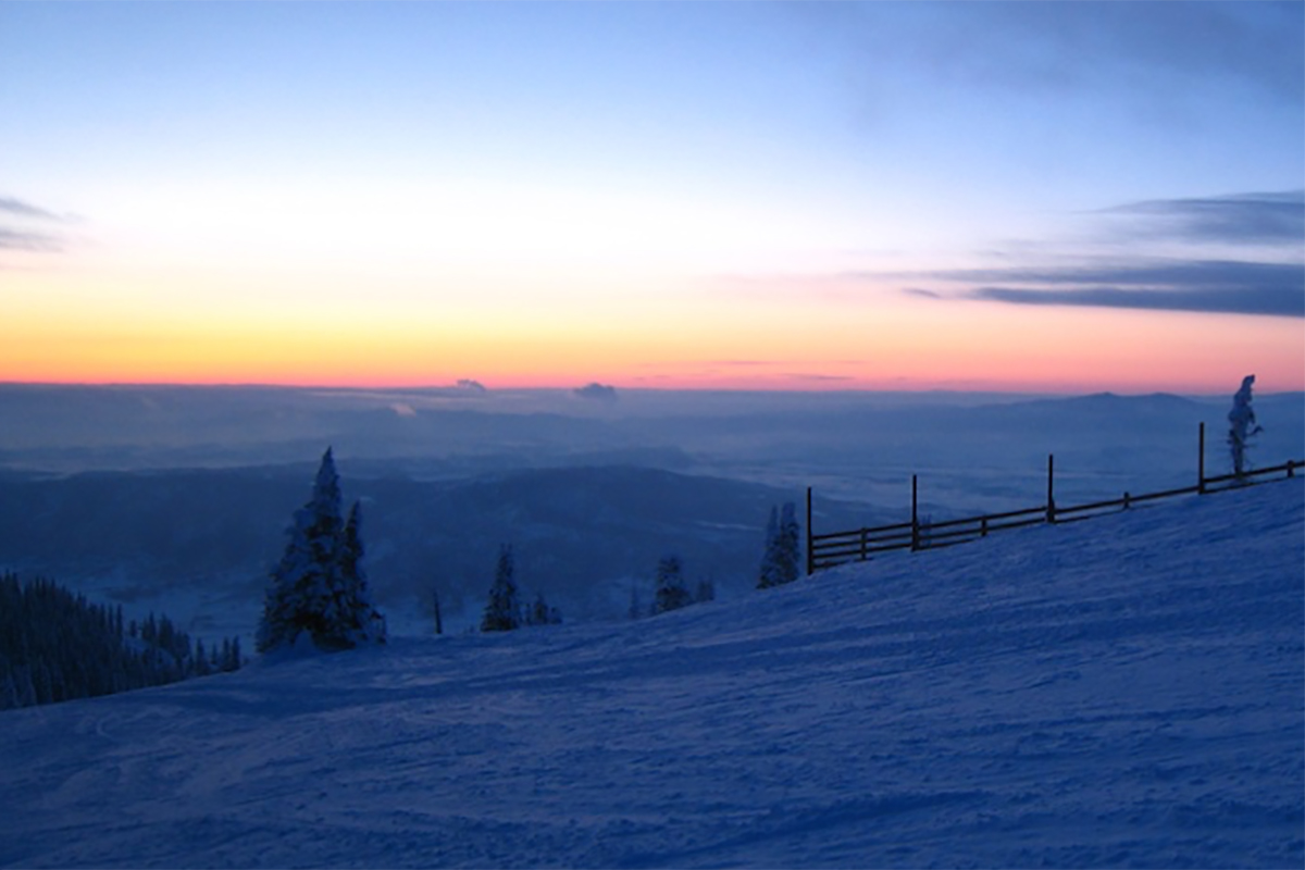
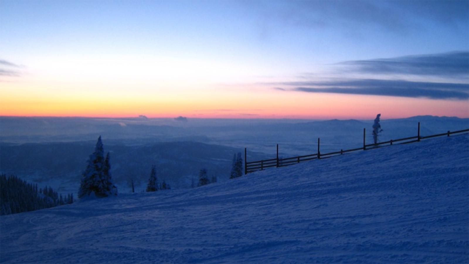
Snow hydrology
Despite its critical importance, especially semi-arid regions of the world, our knowledge of snow spatial and temporal properties is highly limited. Our group is exploring ways to use microwave remote sensing measurements and regional climate models to characterize large scale snow accumulation, especially in mountainous areas. In order to Understand the microwave measurements, we are also working on modeling of the microwave emission of snowpacks.
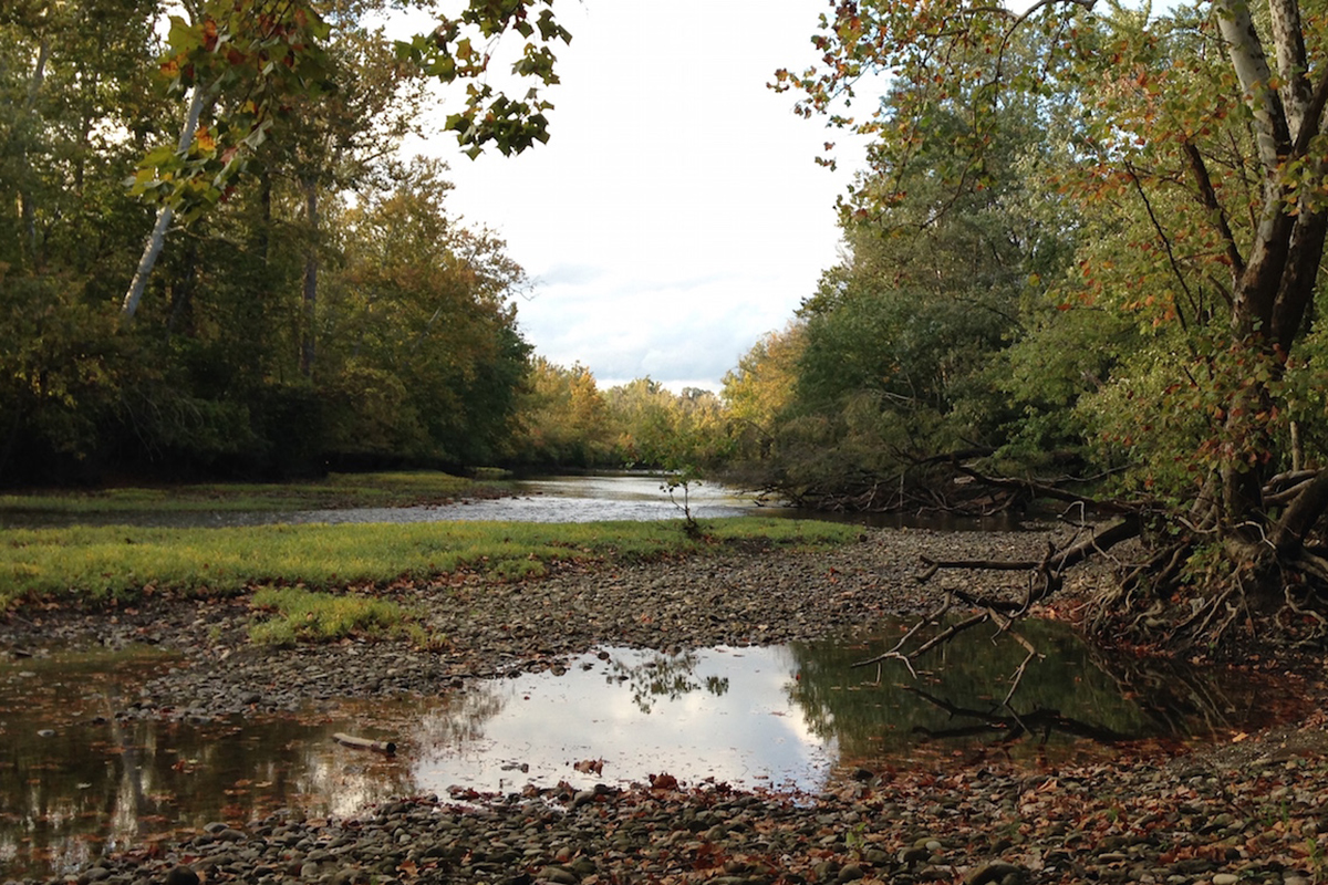
River hydrology
Global measurements of river discharge are on the decline globally. Inasmuch as rivers represent an integrated response of all upstream watershed processes, ability to understand global hydrological processes is quite poor. The Surface Water and Ocean Topography (SWOT) satellite mission will measure water surface elevations, widths and slopes globally, and it will provide the basis for global estimation of discharge in large rivers (greater than 50 meters in width) and storage change in large lakes. Our research group is exploring ways to estimate river discharge from measurements of water elevations.