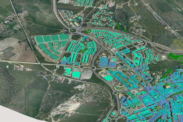
GIS Day at Ohio State is an annual event for students, staff, faculty, and visitors to learn more about geographic information systems (GIS) and celebrate the power of geospatial analysis and visualization in answering research questions and solving real-world problems. GIS Day 2019 will include: A Humanitarian Map-a-Thon, Lightning Talks, Exhbitis/Resource Fair, and a Map Expo.
For questions, contact Josh Sadvari (Geospatial Information Librarian) at sadvari.1@osu.edu.
GIS Day is made possible through a partnership of the Center for Urban and Regional Analysis, Department of Geography, OSU’s Enterprise GIS, and the University Libraries.
Agenda:
9am—11am: Humanitarian Map-a-Thon (BYOD- Bring Your Own Device)
11am—1pm: Lightning Talks
1pm—3pm: Exhibits/Resource Fair & Map Expo
