News
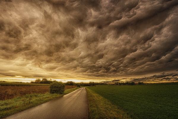
It's Time to Talk About Climate Change
Climate conversations often focus on the severity of climate change, or the "it's real," "it's us," "experts agree," and "it's bad," but experts want to make sure constituents know that "others…

Refrigeration is Coca-Cola's Largest Contribution to Climate Change
In a recent article published in The Conversation, titled "Coca-Cola's biggest challenge in greening its operations is its own global marketing strategy," the author, Bart Elmore, professor in the…
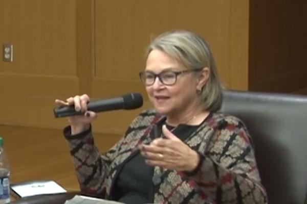
Ann Fisher to Retire from WOSU!
WOSU Public Media announced in March that the host of All Sides with Ann Fisher would be retiring on May 26, 2023.
Ann Fisher joined WOSU Public Media in 2009. Her daily two-hour public…

Three Selected as 2023 Distinguished University Professors
This spring, three faculty members were honored as Distinguished University Professors. Each year, The Ohio State University awards this permanent honorific title to no more than three tenure…
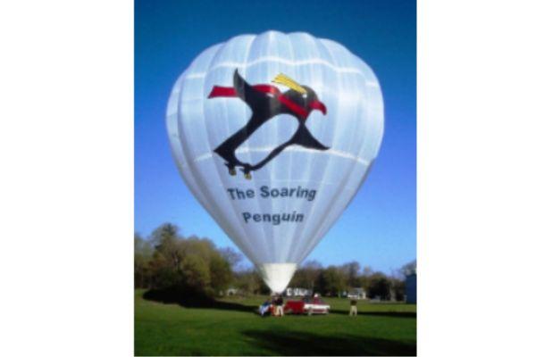
The Adventures of the Soaring Penguin
For World Penguin day, we are honoring a one of a kind penguin... the Soaring Penguin!
Is it a bird? Is it a plane? No! It is the Soaring Penguin Hot Air Balloon! The Soaring Penguin Hot…
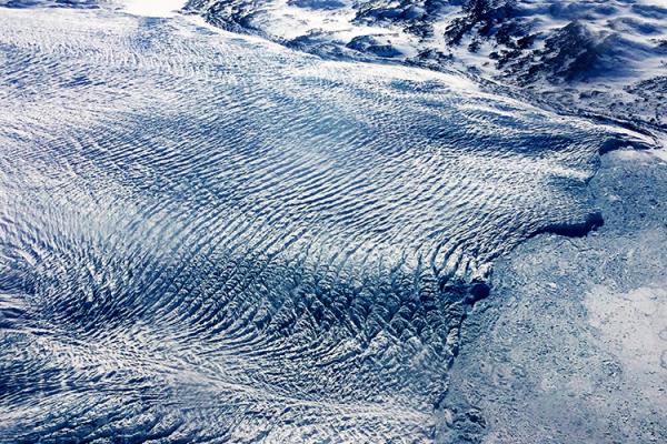
A Once-Stable Glacier in Greenland Is Now Rapidly Disappearing Due to Warming Atlantic Waters
Greenland's Steenstrup Glacier, previously stable for decades, is now retreating at an unprecedented rate, according to a study published today in the journal Nature Communications. The…

YOPP-SH: The Year of Polar Prediction in the Southern Hemisphere continues to 2024
The Polar Prediction Project (PPP), a decade-long initiative by the World Meteorological Organization's World Weather Research Programme (WWRP), ended on December 31, 2022. The project aimed to…

What is Driving Hydrogen Isotopes in Monsoonal Precipitation Across the Bay of Bengal?
A recent study by lead author Jingyi Zhang at the Chinese Academy of Sciences, published in Geophysical Research Letters, analyzed the stable hydrogen isotope records in…
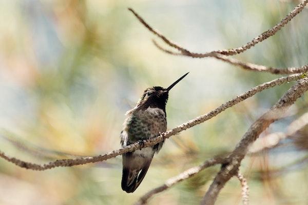
U.S. Birds' Eastern, Western Behavior Patterns Are Polar Opposites
In a recent study, scientists at The Ohio State University analyzed avian biodiversity changes across the continental United States over the period of a year and produced what could be considered…