News
Measuring the Massive Melt
Tom Chudley, Leverhulme research fellow at Durham University in the United Kingdom and former research associate at the Byrd Polar and Climate Research Center at The Ohio State University, spoke…
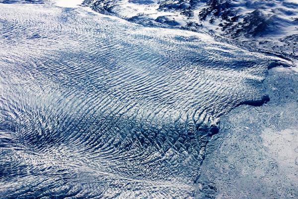
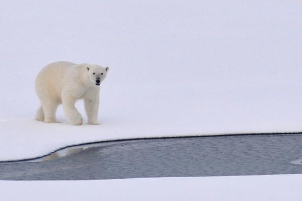
A Once-Stable Glacier in Greenland Is Now Rapidly Disappearing Due to Warming Atlantic Waters
Greenland's Steenstrup Glacier, previously stable for decades, is now retreating at an unprecedented rate, according to a study published today in the journal Nature Communications. The…
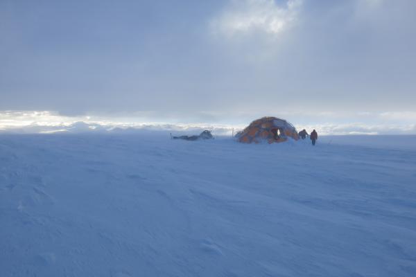
YOPP-SH: The Year of Polar Prediction in the Southern Hemisphere continues to 2024
The Polar Prediction Project (PPP), a decade-long initiative by the World Meteorological Organization's World Weather Research Programme (WWRP), ended on December 31, 2022. The project aimed to…

Forest Growing Season Has Increased by a Month in the Eastern U.S. over the Past Century
A new study has found that the growing period of hardwood forests in eastern North America has increased by an average of one month over the past century due to rising temperatures. Researchers…

Estimating Canopy Height Change Using Machine Learning by Coupling WorldView-2 Stereo Imagery with Landsat 7
A study recently published in the International Journal of Remote Sensing titled Estimating canopy height change using machine learning by coupling WorldView-2 stereo…
Opposite Mass Balance Variations Between Glaciers in Western Tibet and the Western Tien Shan
Recent research published in Global and Planetary Change studied the mass balance variations between glaciers situated in western Tibet and western Tien Shan during the ablation season,…
The Environmental Impact and Management of Steel Corrosion
A new study led by Ohio State alum Mariano Iannuzzi, professor of materials and corrosion science at Curtin University, and co-author Gerald Frankel, professor in the Department of Materials…
Ongoing and Future Projected Intensification of Wet and Dry Extremes in North America
Kyungmin (Kay) Sung, a postdoctoral scholar at Stagge Hydrology Lab at The Ohio State University is the lead author of a study titled Ongoing and Future…
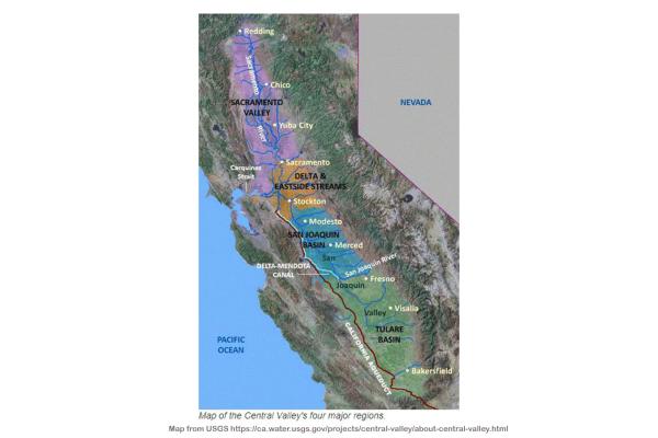
Using Satellite Altimetry Data to Monitor Groundwater Depletion Through Land Subsidence in California's Central Valley
Xuechen Yang, a graduate student in The School of Earth Sciences (SES) at The Ohio State University, is the lead author of a study using satellite altimetry data from California's Central Valley…