News
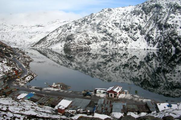
Climate Change Intensifies Risk of Devastating Floods in Sikkim Himalaya
A recent study published in the journal Remote Sensing Applications: Society and Environment, led by the Byrd Center's Postdoctoral Scholar Saurabh Kaushik highlights the…
Unveiling the Hidden Influence of Viruses on Methane Cycling and Climate Change
In a recent study published in Nature Communications, a team of researchers led by Byrd Center's ZhiPing Zhong has unveiled how viruses that infect microbes can potentially influence the…
AI Mapping Reveals Potential Subsurface Natural Hydrogen Worldwide
Byrd Center researchers at The Ohio State University have developed a deep-learning model to identify surface features associated with subsurface reservoirs of naturally occurring free hydrogen…

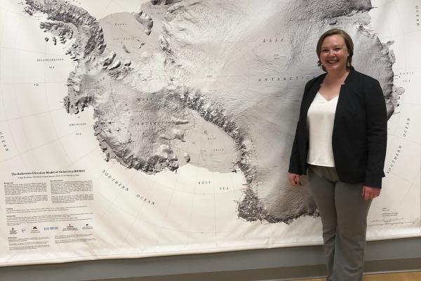
AGU23: WIDE. OPEN. SCIENCE.
Annually, the American Geophysical Union (AGU) meeting brings together over 25,000 participants from more than 100 countries, fostering a global platform for sharing research and networking. This…
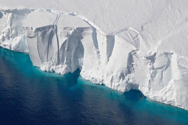
Assessing the Thickness of Antarctic Ice Shelves: Concurrent Airborne Altimetry and Ice Measurements Reveal Thinner Profiles Than Expected
Recent research published in the Journal of Glaciology is the first large-scale study of its kind focusing on the accuracy of estimating the thickness and mass loss of Antarctic ice shelves, which…
Congratulations Allison!
Allison Chartrand successfully defended her Ph.D. dissertation earlier this month. The title of her dissertation was The Evolution and Impact of Kilometer-scale Melt Features in…
Measuring the Massive Melt
Tom Chudley, Leverhulme research fellow at Durham University in the United Kingdom and former research associate at the Byrd Polar and Climate Research Center at The Ohio State University, spoke…
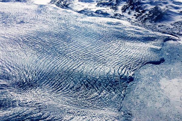
A Once-Stable Glacier in Greenland Is Now Rapidly Disappearing Due to Warming Atlantic Waters
Greenland's Steenstrup Glacier, previously stable for decades, is now retreating at an unprecedented rate, according to a study published today in the journal Nature Communications. The…
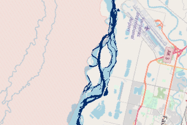
Deep learning models track river extents at sub-meter resolutions
Earth’s surface water, such as river flow paths and inundated floodplains, evolves spatially over time. Where and how much surface water is present is critical for evaluating droughts, floods, and…