
News
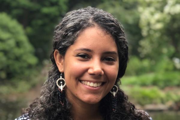
Congratulations to Melisa Diaz and the Other Recipients of the 2023-24 Provost’s Early Career Scholars
The Ohio State University's Office of Academic Affairs has named Melisa Diaz, assistant professor (starting January 2024) at the School of Earth Sciences (SES) and a principal investigator at the…
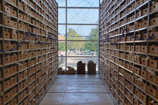
Ohio State's Polar Rock Repository: Celebrating 20 Years of Polar Discoveries
The Polar Rock Repository (PRR) at The Ohio State University celebrates its 20th anniversary in 2023. An article in Columbus Monthly's September 2023 issue highlights the repository's history and…
The Byrd Center Has Achieved a Groundbreaking Milestone, Securing an Astounding $15 Million in New Research Grants Since 2022!
The Byrd Polar and Climate Research Center at The Ohio State University has achieved an unprecedented milestone, securing over $15 million in new research grants during fiscal years 2022 and 2023,…
Professor Terry Wilson Receives AGU's Ivan I. Mueller Award for Distinguished Service and Leadership
In recognition of her exceptional contributions to geodesy and her dedication to scientific research, Professor Terry Wilson has been awarded the American Geophysical Union's (AGU) Ivan I. Mueller…
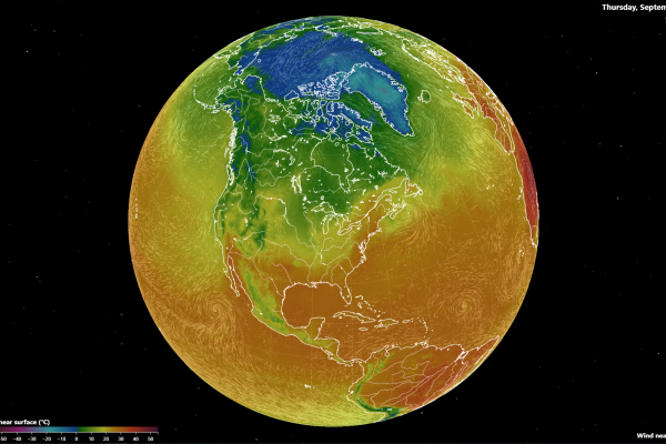
Fluid Earth, an Enhanced Exploration Tool
An article in the September 2023 issue of The Physics Teacher, authored by Jason Cervenec, Geddy Davis, Michael T. Gravina, and Daniel Hamilton, shares new features available for Fluid Earth and…
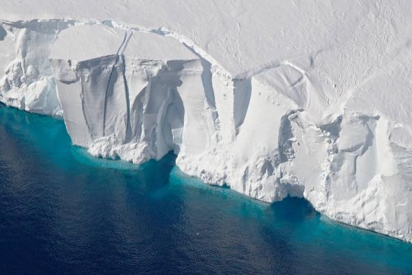
Assessing the Thickness of Antarctic Ice Shelves: Concurrent Airborne Altimetry and Ice Measurements Reveal Thinner Profiles Than Expected
Recent research published in the Journal of Glaciology is the first large-scale study of its kind focusing on the accuracy of estimating the thickness and mass loss of Antarctic ice shelves, which…

The Surface Water and Ocean Topography Satellite: a Game-Changer in Measuring River Basins Worldwide, from the Familiar to the Uncharted
The Surface Water and Ocean Topography (SWOT) mission is set to revolutionize global hydrological research by improving measurements of river basins worldwide.
Using data from the SWOT…
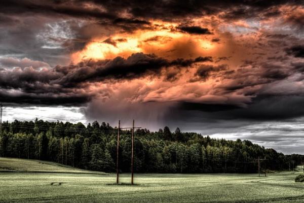
StormImpact, a Pioneering Startup, is Helping Power Companies Mitigate Weather-Related Disruption
StormImpact is a pioneering startup co-founded by Steven Quiring, Byrd Center principal investigator and professor in The Ohio State University's Department of Geography, Senior Researcher Brent…

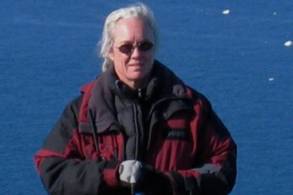
Canary, a Documentary Based on Lonnie Thompson's Life Journey, to Premier in September
Lonnie Thompson, a distinguished university professor at The Ohio State University School of Earth Sciences, has amazed the world with his audacious expeditions to Earth's loftiest peaks. With 70…