
News
Unearthing the Potential: Geologic Hydrogen as a Low-Carbon Energy Solution
The extraction of limitless clean energy from underground in the form of geological hydrogen is the focus of Koloma, a startup company co-founded by Tom Darrah, a professor at The Ohio State…
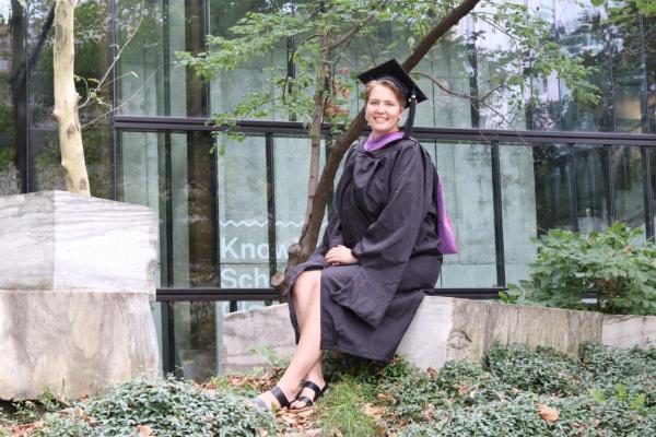
Congratulations Karina!
This summer, the Byrd Center's Education and Outreach Program Coordinator, Karina Peggau, graduated with her Master of City and Regional Planning degree. Her coursework primarily focused on…
Cryogenic Resurrections: The Perils and Wonders of Ancient Organisms Emerging from Melting Ice
In a recent scientific discovery, researchers successfully revived a microscopic roundworm encased in 46,000-year-old Siberian permafrost. Remarkably, the roundworm was so well-preserved…

What Caused the Accelerated Weakening of the Atlantic Meridional Overturning Circulation?
Earlier this year, scientists released research findings that suggested an accelerated weakening of Atlantic overturning circulation was likely associated with an optimal salinity fingerprint.
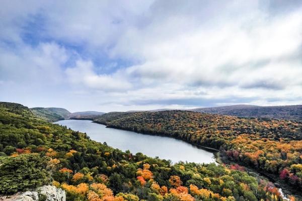
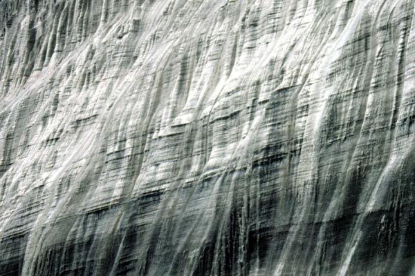
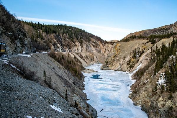
Urgent Measures Are Required for Glacier Preservation
No Water, No Food- Without the glaciers, the U.S. and Chinese agriculture are at risk!
In a 2023 Wilson Center webinar, The Ohio State University School of Earth Sciences…
Congratulations Allison!
Allison Chartrand successfully defended her Ph.D. dissertation earlier this month. The title of her dissertation was The Evolution and Impact of Kilometer-scale Melt Features in…
Satellite Observations May Explain the Carbon-Water Coupling over Northern Permafrost Regions Better Than Process-Based Models
Recent research has revealed limitations of process-based models in accurately capturing the carbon-water coupling in permafrost regions compared to satellite-based analyses that account for…
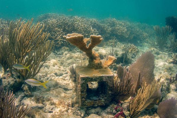
Rebuilding Coral Population in Florida
After decades of decline due to marine disease, climate change and a number of other environmental stressors, the critically endangered elkhorn coral has found the ideal location to rebuild its…
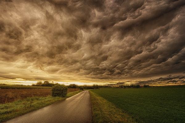
It's Time to Talk About Climate Change
Climate conversations often focus on the severity of climate change, or the "it's real," "it's us," "experts agree," and "it's bad," but experts want to make sure constituents know that "others…