Polar Puzzles
Antarctica and the Arctic are known as the Polar Regions and are home to a diverse array of research. Researchers collect data on the changing environment, learn about past climates, study the food web, recover information from past civilizations, take measurements in the water, use satellites to measure snowpack, and more. The Polar Puzzles activities are designed to capture some of the research happening in the Polar Regions and showcase what is being learned in an engaging and hands-on way.
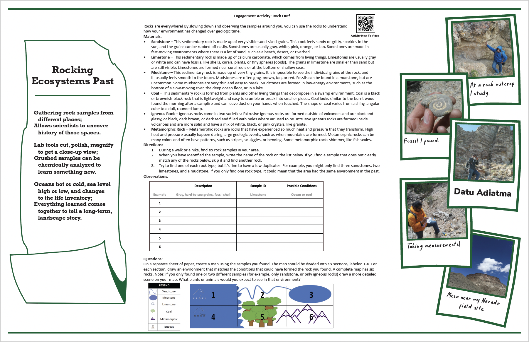
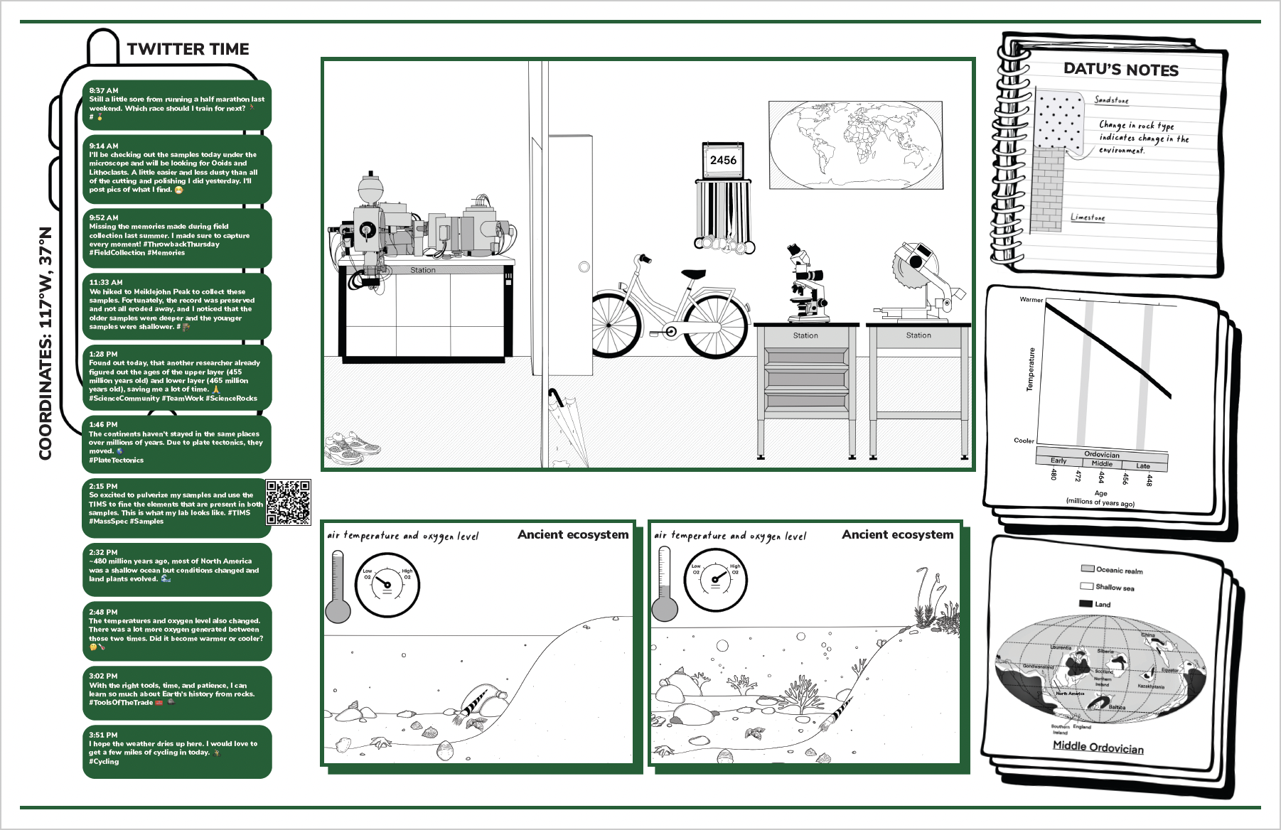
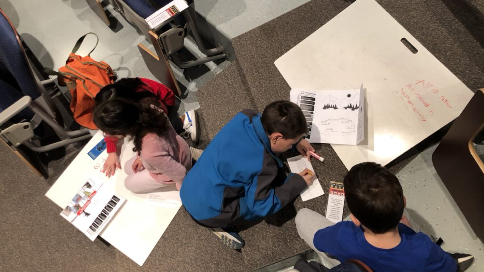
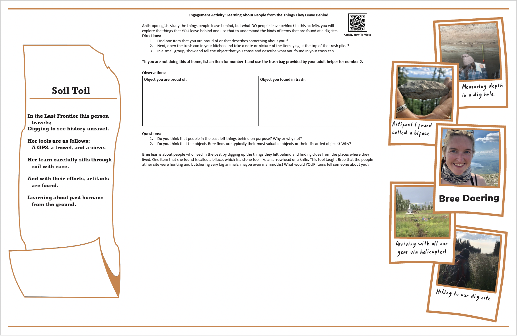
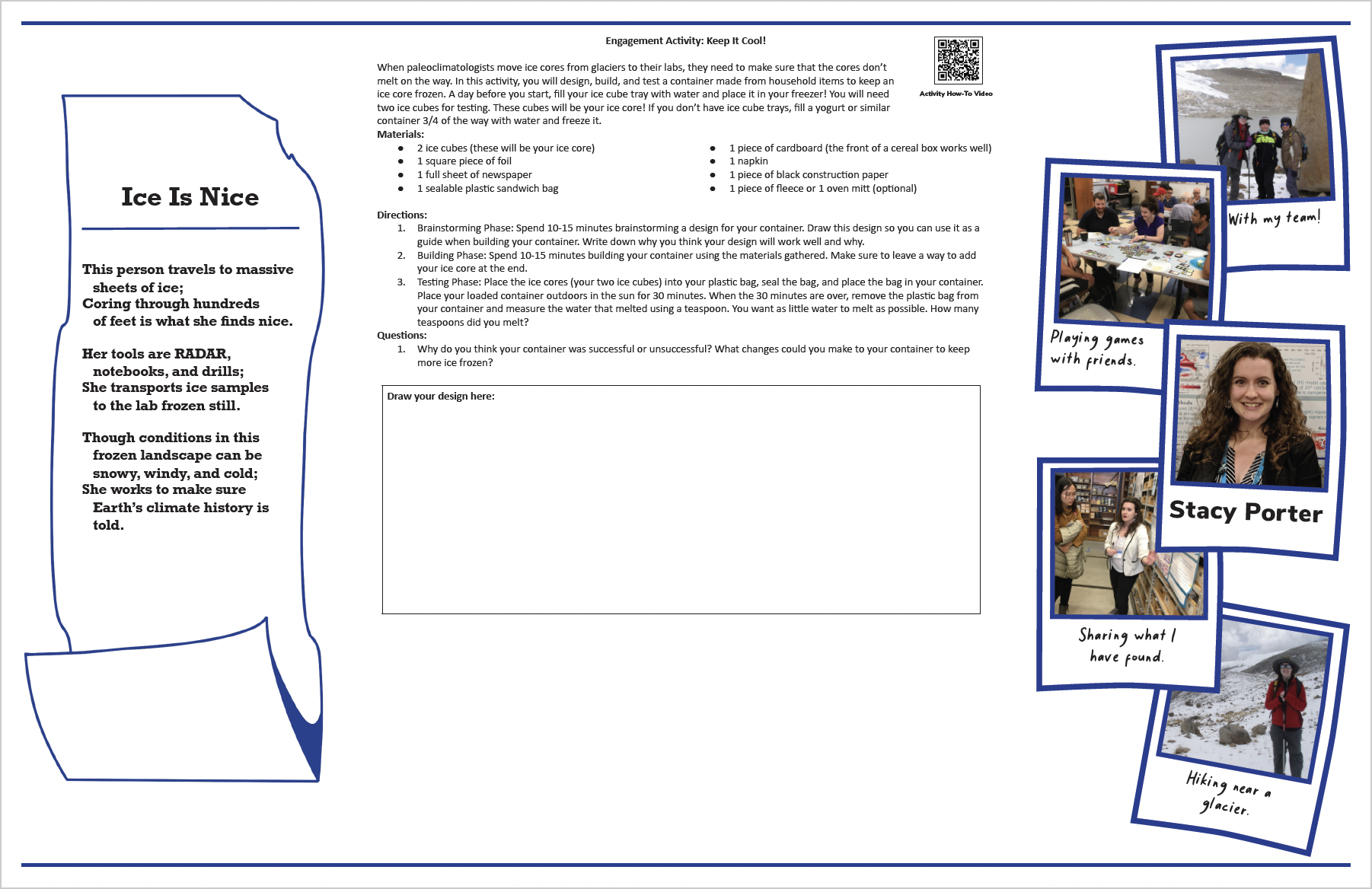
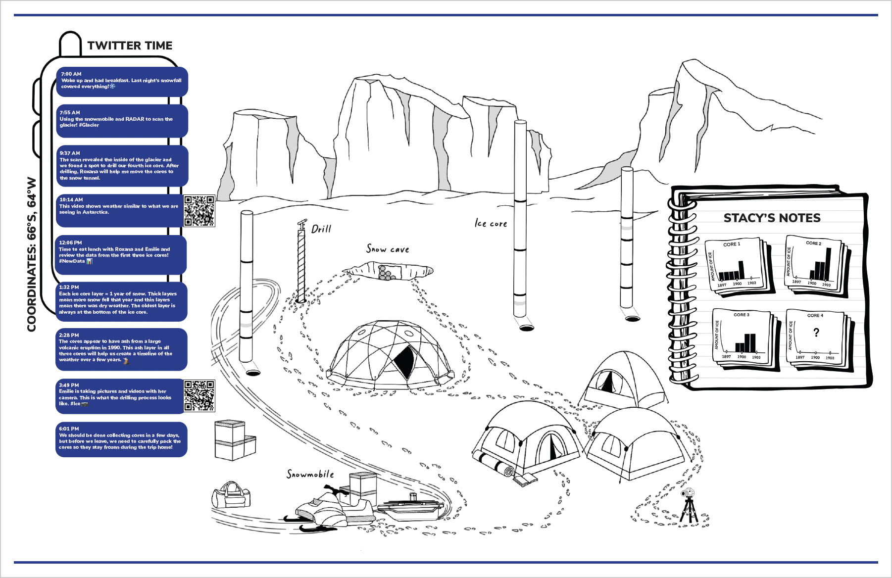
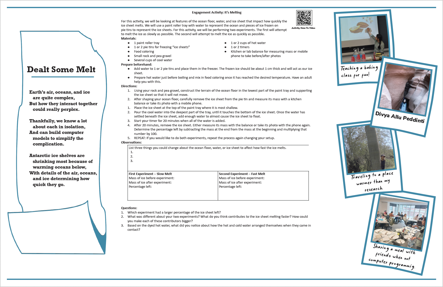
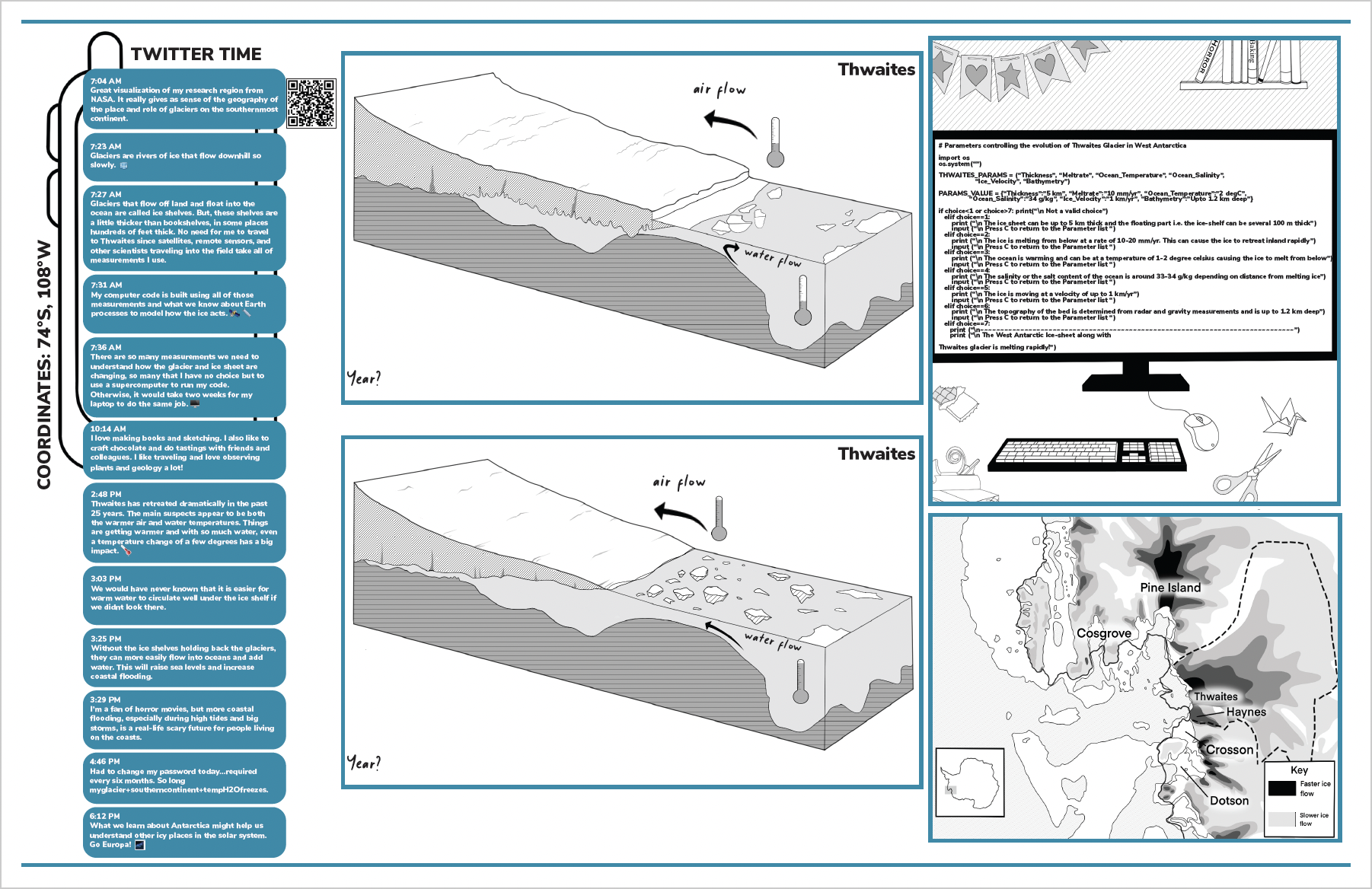
The Polar Puzzles can be completed in a series or separately as standalone activities. Each puzzle features a polar researcher, including images of the researcher, action photos of their research or fieldwork, a poem that describes the location and type of work the researcher performs, a hands-on activity, a cartoon that depicts the setting of their work and data, and a social media dialogue about their research.
Use the tabs below to download materials and learn more about the puzzle topics and researchers featured.
For additional information about the puzzles and how to facilitate the activities, please refer to the Facilitator Guide.
For questions relating to each puzzle to ask youth, refer to the Question Cards.
For answers to the questions, as well as additional information about each researcher and puzzle, refer to the Answer Book.
For stickers to give youth after the completion of each puzzle, refer to Polar Puzzle Stickers.
Each Polar Puzzle is provided individually below. To access all 7 Polar Puzzles in one place, refer to the Polar Puzzle Booklet.
Each of the 7 Polar Puzzles in the Kit

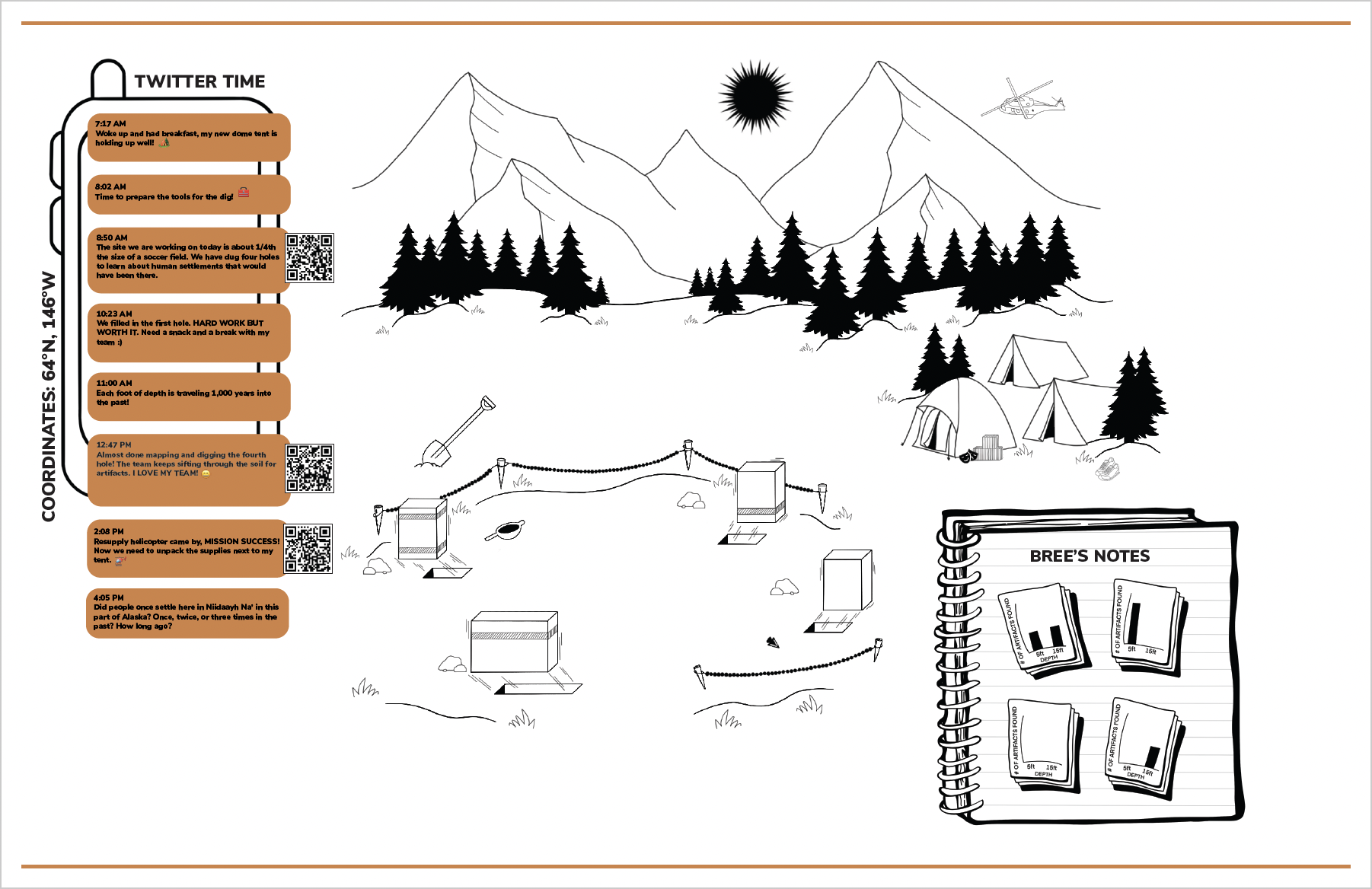
Dr. Briana 'Bree' Doering is an anthropologist studying people who resided in the central Alaska region thousands of years ago. These ancient peoples were nomads, traveling around the Arctic and setting up temporary camps. They created tools, hunted and gathered food, and left items behind
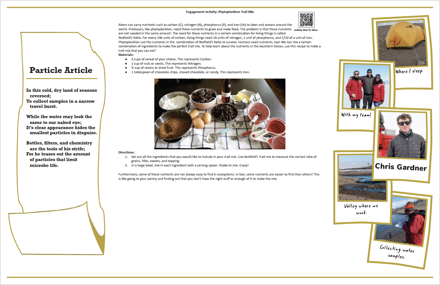
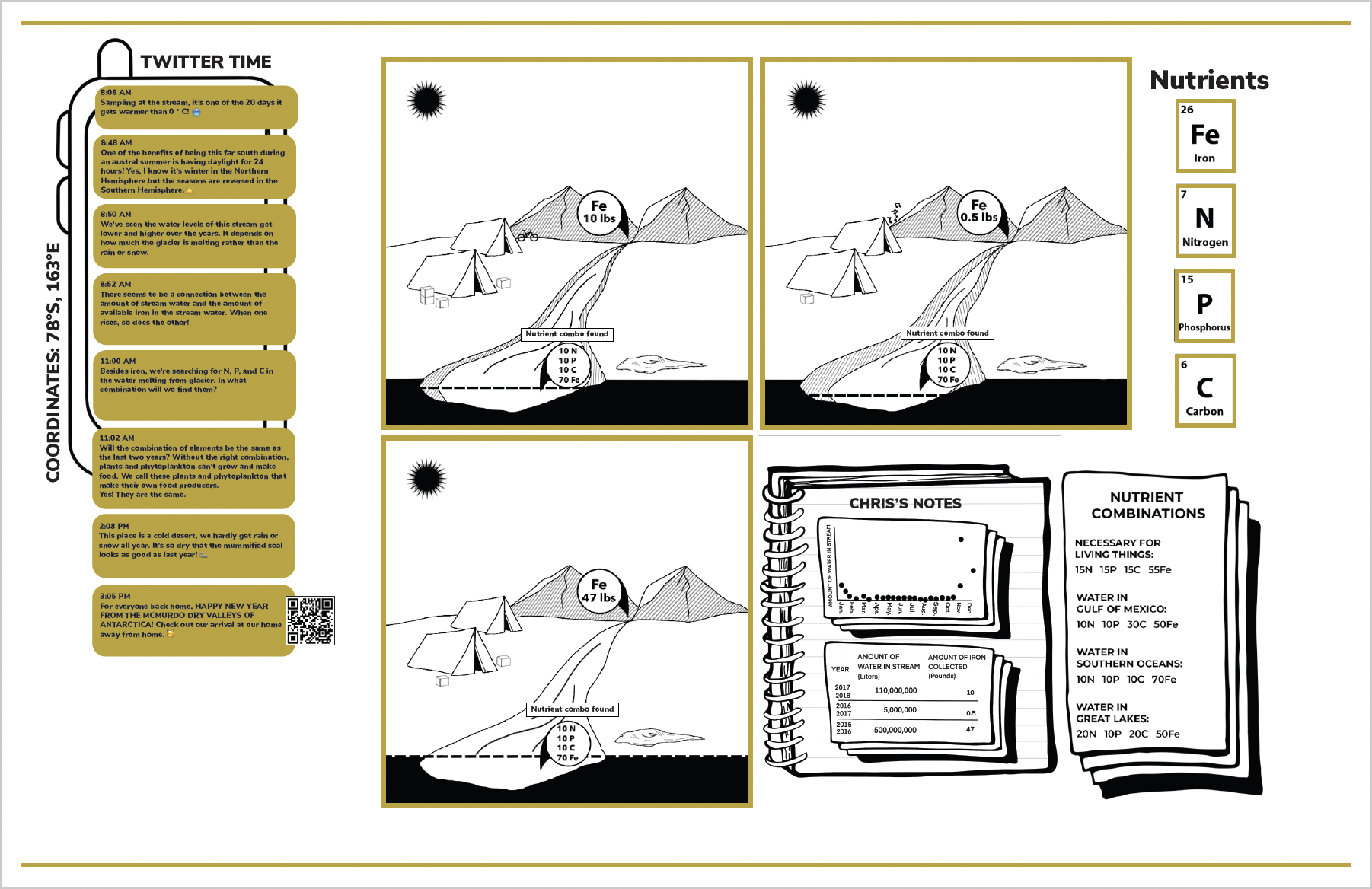
Dr. Chris Gardner is a geochemist studying nutrients in rivers that come from glaciers in the McMurdo Dry Valleys, Antarctica. These nutrients can include iron, phosphorus, nitrogen, and carbon and they are used by producers, like phytoplankton, to grow and make food. The amount of nutrients in the streams can tell us about the food web in Antarctica and the Southern Ocean.

Dr. Stacy Porter is a researcher who uses ice cores to learn about past climates. Like tree rings, where each ring represents one year, ice core layers tell us about the atmosphere from previous years, including which chemicals are in the air, what the temperature was, and how much precipitation fell that year. Stacy analyzes ice cores collected in Antarctica and tropical glaciers.
Dr. Divya Allu Peddinti is a researcher who studies ice shelves in Western Antarctica using computer models. These computer models help Divya understand how climate change is affecting the interaction between ice shelves and the ocean water around them. For example, as ocean temperatures rise with climate change, the ocean water can flow and circulate underneath the ice and cause it to melt faster. As these ice shelves melt, they are contributing to global sea level rise, which can impact the lives of people living on coasts.
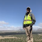
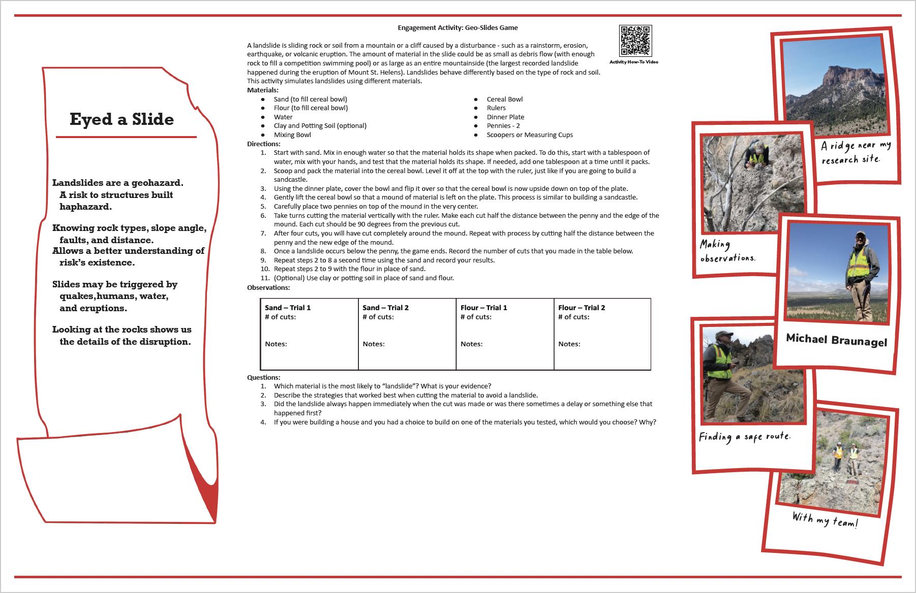
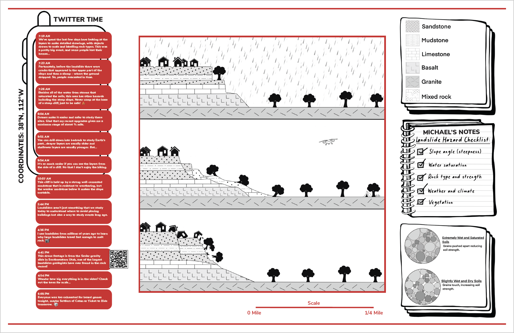
Dr. Michael Braunagel is a geologist who studies rock layers to better understand landslides from the past. By studying these landslides, Michael can learn more about Earth’s history and see what is causing landslides so people can be more aware of them in the future. Landscape features such as rock and soil type, slope steepness, vegetation, and water, all contribute to landslides. Understanding these features can inform people where it is safe to build and not be in danger of a landslide.

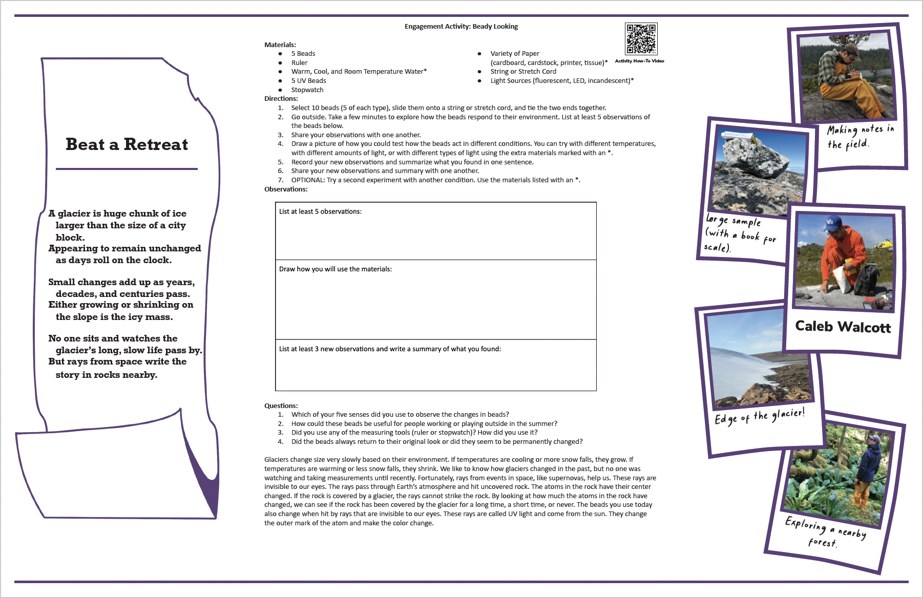
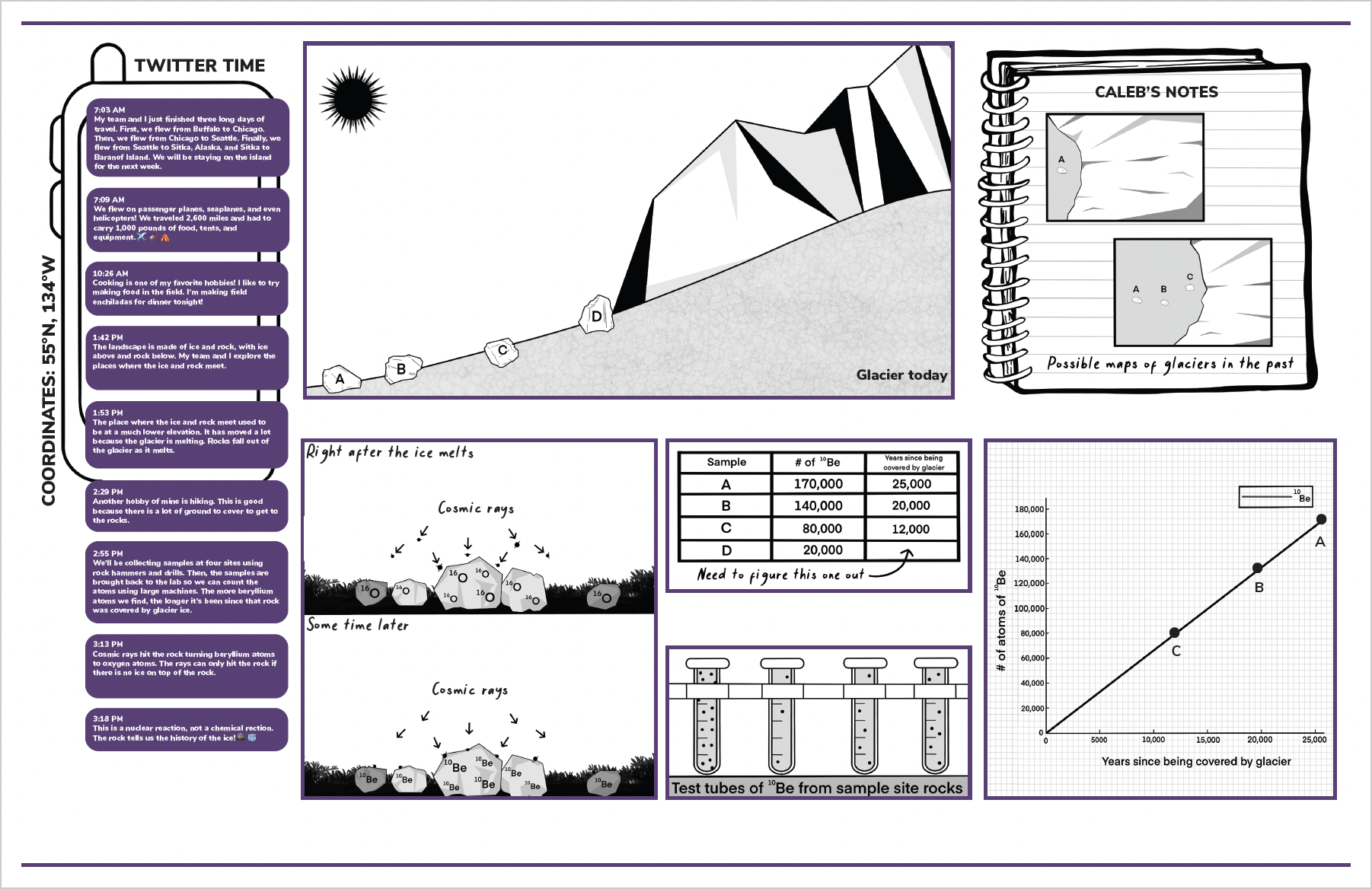
Dr. Caleb Walcott is a researcher who studies how quickly glaciers shrink. Since there are no written records, he collects samples from boulders that used to be covered by the glacier. The glacier protected the boulders from cosmic rays, but when the ice melts, the cosmic rays strike the rock and change oxygen atoms in the rock to beryllium atoms. By counting the beryllium atoms from a boulder, Caleb can figure out what year that boulder was last covered by ice. Doing this for a few boulders, Caleb gets a long-term view of how quickly the glacier is shrinking.
Dr. Datu Adiatma is a geologist who studies rocks to understand how the climate and ecosystems changed millions of years ago. Specifically, he is looking at rocks from the ancient Ordovician period to see how the movement of tectonic plates led to changes in temperature, oxygen levels, and biodiversity.
