Greenland
Project Overview
As part of a multi-institutional NASA-funded project to target the current mass balance of the Northern Hemisphere's largest ice mass, ice cores are being drilled from various locations in central Greenland. This program, PARCA (Program for Arctic Regional Climate Assessment), also incorporates the atmospheric components (radiational and latent energy balances) to ice sheet growth and decay, to be used in conjunction with vertical and horizontal ice motions, and accumulation measurements. PARCA members will also study other phenomena, such as atmospheric chemistry, gravity, and ground-based microwave radiances useful for satellite-data interpretation.
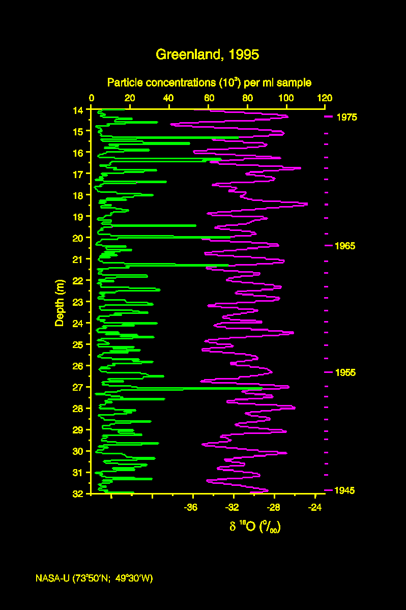
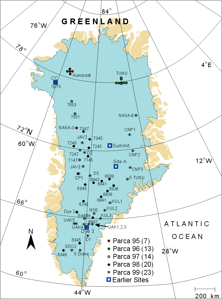
The project is focused along the 2000m elevation contour line (approximated by the surface GPS traverse indicated on the map), which remains in the accumulation zone but is far enough away from the summit such that a large area is covered. The total distance that will be covered by ground-based teams is roughly 4800 km (nearly 3000 miles). Ice core drilling teams and satellite-linked automatic weather stations will be positioned at several key locations around the perimeter of the 2000m contour. During the 1995 season, deep holes (150m each) were drilled at the NASA-U and Humboldt sites, and a short core was extracted from Crawford Pt. Two additional deep cores will be recovered in the 1996 season, heading towards total coverage in the ongoing program.
The main focus of the ice coring aspect of the program is on annual accumulation values directed towards solving the mass balance problem, but other information will certainly be extracted from these cores as well. Since the deep cores will span 300-500 years, changes in the chemistry of the atmosphere since the beginning of industrialization should be evident in certain trace species, as well as the general temperature trends using the 18O/16O ratio as a proxy.


