— HISTORY CORNER —
Antarctica, Actually, is Everywhere…Including in Ohio
by Dr. Marissa Grunes
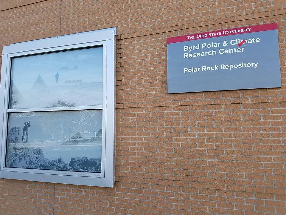
Part 1: A bit about the Byrd Center
This summer I’m preparing for an archival research fellowship at the Ohio State University’s Byrd Polar and Climate Research Center. During the fellowship, I plan to post brief daily highlights from the archives.
Ahead of the visit, I’ll share a little about the collections I’ll be looking at.
But first: why Ohio? How did one of the world’s most extensive collections of polar material—not only historical documents but also physical artifacts and geological specimens—end up in the Buckeye State? And how did part of the Transantarctic Mountains earn the name the Ohio Range?
As so often in Antarctic history, the answer arises from the happy intersection of curiosity, community, and rocks.
Adventures in Antarctic Geology
Geologists are among the most adventurous explorers of the natural world.
It’s easy to forget that Charles Darwin was trained as a geologist and was tasked aboard the Beagle with geological mapping. Antarctica too has a history of geologically-inclined expedition leaders, including the Anglo-Norwegian Carsten Borchgrevink, the Australian Douglas Mawson, and the Swedish Otto Nordenskjöld. Many who weren’t geologists themselves made sure to bring geologists along. Raymond Priestley geologized for both Ernest Shackleton and Robert Scott, while the U.S. Antarctic Program’s icebreaking research vessel RV Laurence M. Gould is named after the geologist who was chief scientist on Admiral Richard E. Byrd’s first Antarctic expedition (1928-1930).
Geologists are natural trailblazers. They have to go places, look at the rocks, take measurements, collect samples. How else can you study the stuff Earth is made on?
Among these polar pioneers is Richard P. Goldthwait (1911-1992). The son of a prominent glacial geologist—and adventurous outdoorsman—Goldthwait grew up skiing the polar-ish wilds of New Hampshire. After entering Dartmouth College, where his father taught, Goldthwait also took up the study of ice-rock interactions.
In 1944, five years after receiving his PhD from Harvard, he moved to Ohio to serve in the newly founded U.S. Army Air Force as a materials engineer. Two years later, he landed a job as assistant professor at the Ohio State University. Within his first decade at OSU, Goldthwait participated in a research expedition to China and five to the Arctic. He was a leading glacial geologist by the time he answered the call of the International Geophysical Year in 1957 and ventured south.

OSU Goes to Antarctica
The Ohio State University has been a powerhouse of earth science since its founding. Its first president, Dr. Edward Orton, Sr., was a Harvard-educated geologist who served as Ohio’s State Geologist from 1899-1906. Half a century later, OSU was once again home to the State Geologist, Dr. George W. White. Around the same time, in the late 1940s, the Ohio State University Research Foundation helped to make the university an epicenter of geodetic work (the study of measuring the Earth’s geometry, gravity, and orientation in space). Geodesy is fundamental to one of our most powerful technologies today, the Global Positioning System or GPS.
Young Dr. Goldthwait was thus bringing his formidable energy to a place already bustling with geological opportunity. When the international scientific community decided to collaborate on a year-long research effort focused on the polar regions, OSU was understandably at the forefront—and Goldthwait was a leading figure.
The International Geophysical Year of 1957-1958 brought together sixty-seven nations to research every imaginable aspect of polar science. Data on penguin rookeries, glacial movement, ice thickness, geological history, meteorology, magnetism, the aurora, and other topics were freely shared among participating nations. (For a fascinating glimpse into the era, check out the Japanese documentary series Antarctica, currently on Netflix, about the team that made Japan the only former Axis power to participate in IGY.) IGY also kickstarted the Space Race with the first successful Earth-orbiting rockets Sputnik 1 (launched 1957) and Explorer 1 (launched 1958). NASA and the U.S. Antarctic Program were both founded as a direct result of IGY.
In the coldest corners of the Cold War, the Army needed glacial geologists. OSU had plenty. And so, to Antarctica in 1957 came men of unusual experience, such as Peter M. Smith, a 24-year-old Army lieutenant with a masters in geology from OSU and an entirely unreasonable amount of experience working with glacial crevasses. Smith had served in Greenland helping to build defensive outposts on—and in—the ice.
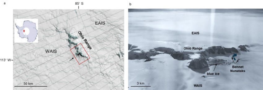
Things went so well in Antarctica, that a year later OSU was back. And this time, they were ready to name some mountain ranges. By the early 1960s, Buckeye Table and the Ohio Range graced Antarctic maps, along with the 12,000-footer Mount Goldthwait.
Who says Ohio doesn’t have mountains?
Learn more about Dr. Marissa Grunes' Gone Incognita Blog and Subscribe.
She can also be reached at marissa.grunes@colorado.edu.