
News
A Once-Stable Glacier in Greenland Is Now Rapidly Disappearing Due to Warming Atlantic Waters
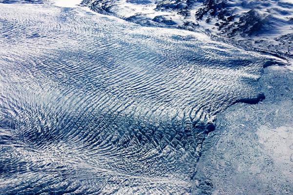
Greenland's Steenstrup Glacier, previously stable for decades, is now retreating at an unprecedented rate, according to a study published today in the journal Nature Communications. The rapid…
YOPP-SH: The Year of Polar Prediction in the Southern Hemisphere continues to 2024
The Polar Prediction Project (PPP), a decade-long initiative by the World Meteorological Organization's World Weather Research Programme (WWRP), ended on December 31, 2022. The…

What is Driving Hydrogen Isotopes in Monsoonal Precipitation Across the Bay of Bengal?
A recent study by lead author Jingyi Zhang at the Chinese Academy of Sciences, published in Geophysical Research Letters, analyzed the stable hydrogen isotope records in…
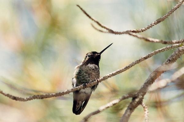
U.S. Birds' Eastern, Western Behavior Patterns Are Polar Opposites
In a recent study, scientists at The Ohio State University analyzed avian biodiversity changes across the continental United States over the period of a year and produced what could be…

Ohio State Sets New Record with $1.38 Billion in Annual Research Expenditures
The Ohio State University set a new record in its annual research and development expenditure. In partnership with the university's colleges, the Enterprise for Research,…

A Win-Win: Generating Profit from Food Waste While Reducing the Carbon Footprint
Valuating the conversion of food processing waste into potential end products to determine its best use!
Researchers have determined the value of food processing waste products that are…
The Environmental Impact and Management of Steel Corrosion
A new study led by Ohio State alum Mariano Iannuzzi, professor of materials and corrosion science at Curtin University, and co-author Gerald Frankel, professor in the …
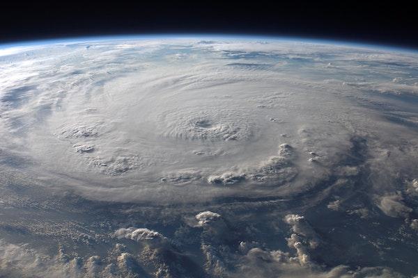
Detecting Extreme Climate Event Impacts Using Remote Sensing Data in Deep Machine Learning Paradigms
C.K. Shum, Distinguished University Scholar and Professor in the School of Earth Sciences (SES) at The Ohio State University and a Principal Investigator at the Byrd Center, co-…
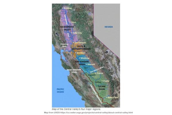
Using Satellite Altimetry Data to Monitor Groundwater Depletion Through Land Subsidence in California's Central Valley
Xuechen Yang, a graduate student in The School of Earth Sciences (SES) at The Ohio State University, is the lead author of a study using satellite altimetry data from California's…