
News
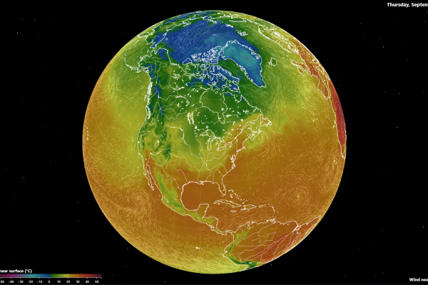
Fluid Earth, an Enhanced Exploration Tool
An article in the September 2023 issue of The Physics Teacher, authored by Jason Cervenec, Geddy Davis, Michael T. Gravina, and Daniel Hamilton, shares new features…
Satellite Observations May Explain the Carbon-Water Coupling over Northern Permafrost Regions Better Than Process-Based Models
Recent research has revealed limitations of process-based models in accurately capturing the carbon-water coupling in permafrost regions compared to satellite-based analyses that account for…
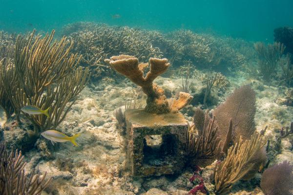
Rebuilding Coral Population in Florida
After decades of decline due to marine disease, climate change and a number of other environmental stressors, the critically endangered elkhorn coral has found the ideal location to rebuild its…
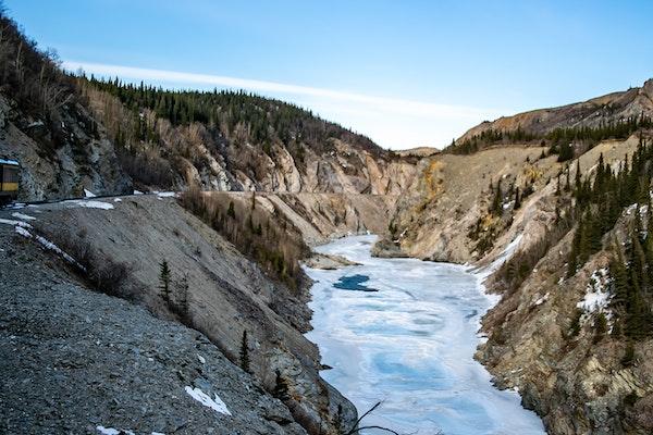
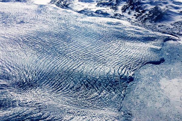
Measuring the Massive Melt
Tom Chudley, Leverhulme research fellow at Durham University in the United Kingdom and former research associate at the Byrd Polar and Climate Research Center at…
A Once-Stable Glacier in Greenland Is Now Rapidly Disappearing Due to Warming Atlantic Waters
Greenland's Steenstrup Glacier, previously stable for decades, is now retreating at an unprecedented rate, according to a study published today in the journal Nature Communications. The rapid…
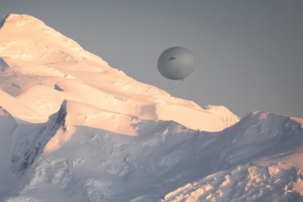
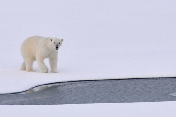
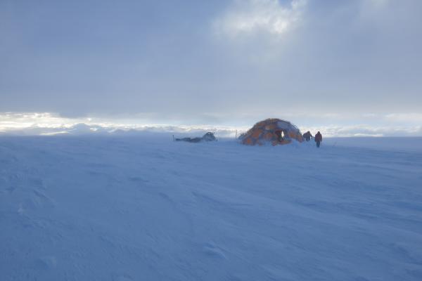
YOPP-SH: The Year of Polar Prediction in the Southern Hemisphere continues to 2024
The Polar Prediction Project (PPP), a decade-long initiative by the World Meteorological Organization's World Weather Research Programme (WWRP), ended on December 31, 2022. The…

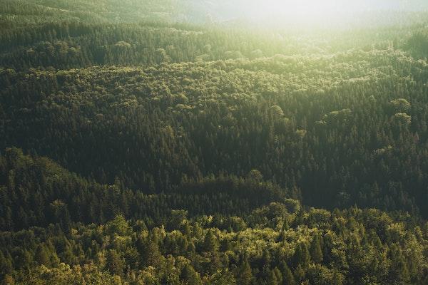
Forest Growing Season Has Increased by a Month in the Eastern U.S. over the Past Century
A new study has found that the growing period of hardwood forests in eastern North America has increased by an average of one month over the past century due to rising temperatures. Researchers…
Estimating Canopy Height Change Using Machine Learning by Coupling WorldView-2 Stereo Imagery with Landsat 7
A study recently published in the International Journal of Remote Sensing titled Estimating canopy height change using machine learning by coupling WorldView-2 stereo imagery with…
Opposite Mass Balance Variations Between Glaciers in Western Tibet and the Western Tien Shan
Recent research published in Global and Planetary Change studied the mass balance variations between glaciers situated in western Tibet and western Tien Shan during the ablation season,…