Byrd Water Cycle Research Group Receives Two NASA Grants!

Near Atigun Pass, Alaska, 2022, image provided by Michael Durand
Congratulations to Michael Durand and his team, recent recipients of two NASA grants!
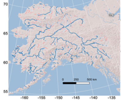
One of the the two grants is Adopting SWOT Measurements to Improve Decision Making for Currently Ungauged basins: Decision Support for Alaska NASA, Water Resources.

The Surface Water and Ocean Topography (SWOT) satellite mission is scheduled to launch in November 2022. In a partnership between the U.S., France, UK, and Canada, SWOT will repeatedly measure heights of the world's rivers, lakes, and oceans. Durand’s research group has coordinated the SWOT Discharge Algorithm Working Group for over ten years, and is leading the effort to map water flowing in the world’s rivers from SWOT measurements. This funding will support development of new tools for the use of SWOT measurements throughout Alaska, where in situ measurements of discharge are sparse due to logistical difficulties. If successful, the project will develop new tools to allow anyone in the world to combine their local measurements of streamflow with SWOT measurements to use SWOT to gage their rivers. This project will support applications adopting SWOT discharge estimates, bridging the gap between research and operations for remote sensing of rivers.
The second grant is CoReSSD: A Cold Regions Snowpack and Snowfall Dataset constrained by Earth Observations for Continental Scale Snow Hydrology Science (NASA).

Climate change is rapidly altering how the planet functions, and nowhere is that clearer than in snow hydrology. Snow is an important part of the Earth system, reflecting the sun’s radiation and cooling the climate, and then releasing melt water in the spring, when ecosystems need it. But available datasets do not perfectly capture what is happening with snow on a large scale: we can see where it is, but not how much there is. Durand’s research group recently obtained funding from NASA to develop a new dataset to better estimate snow volume over the whole North American continent, over the past twenty years. The data will leverage the Moderate Resolution Imaging Spectroradiometer (MODIS) instruments on Terra and Aqua satellites; the effort is collaborative work with colleagues at NASA Goddard Space Flight Center and the University of North Carolina.
Learn more about Michael's recent trip to Alaska for field work on another grant by visiting Dr. Michael Durand's NASA funded SnowEx Fieldwork in Alaska.